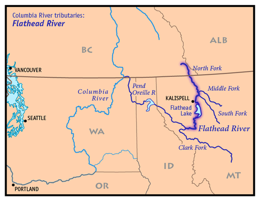
Three smaller rivers originate in the mountains surrounding the Flathead Valley. The North Fork, the Middle Fork, and the South Fork. They come together to form the bigger main stem that flows into Flathead Lake right outside of Bigfork, Montana. The Flathead River then pours out of the lake on its southern tip in Polson, Montana then flows towards the Clark Fork River. From the headwaters of each of the three forks to its confluence with the Clark Fork, this is referred to as the Flathead River system but is part of the larger Columbia River Basin.
NORTH FORK
The North Fork begins in the Canadian Rockies and flows 31 miles through British Columbia. The river crosses the border into Montana and from there it is designated as a National Wild and Scenic River. The North Fork follows the western border of Glacier National Park traveling through the vast uninhabited wilderness. The river eventually meets up with the Middle Fork of the Flathead right above Blankenship Bridge just outside of Columbia Falls, Montana.
MIDDLE FORK
The headwaters of The Middle Fork is deep in The Bob Marshall Wilderness. It flows north from there towards Glacier National Park eventually claiming most of Glacier’s southwestern border. The Middle Fork passes through several very small towns that were once popular during the construction of the railroad. The river emerges from the wilderness at Essex and follows alongside Highway 2 until the town of West Glacier where it disappears from view. After flowing through West Glacier, the river meanders south to its confluence with the North Fork at Blankenship Bridge.
SOUTH FORK
The South Fork begins in the renowned Bob Marshall Wilderness flowing through miles of dense forest. Nothing mechanized is allowed into the “Bob” so it remains pristine and undeveloped. The river then flows into the Hungry Horse Reservoir. The reservoir is the byproduct of the Hungry Horse Dam which was completed in 1953. While the dam ultimately changed the natural layout of the river, it did keep all the non-native fish from traveling up into the South Fork. After the river flows through the dam it makes its way to the main stem of the Flathead joining the North and Middle Forks 6 miles below Blankenship Bridge.
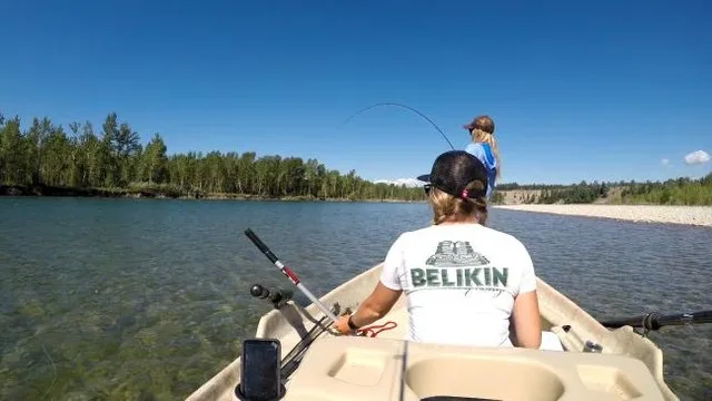
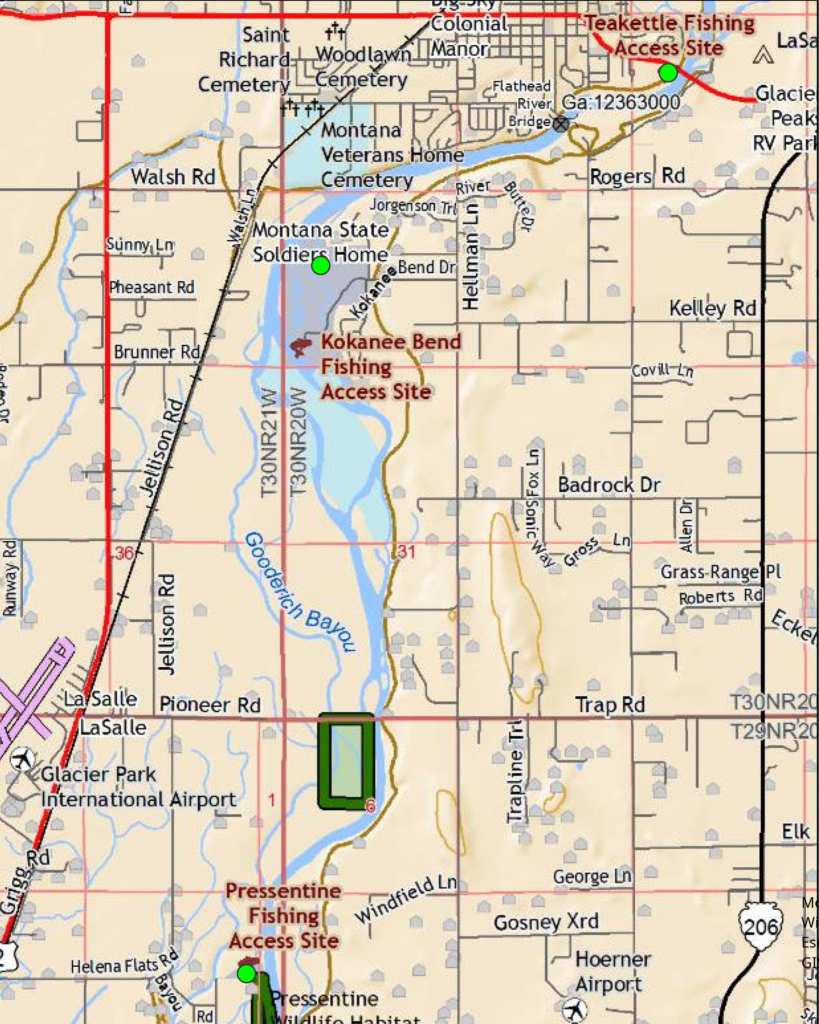
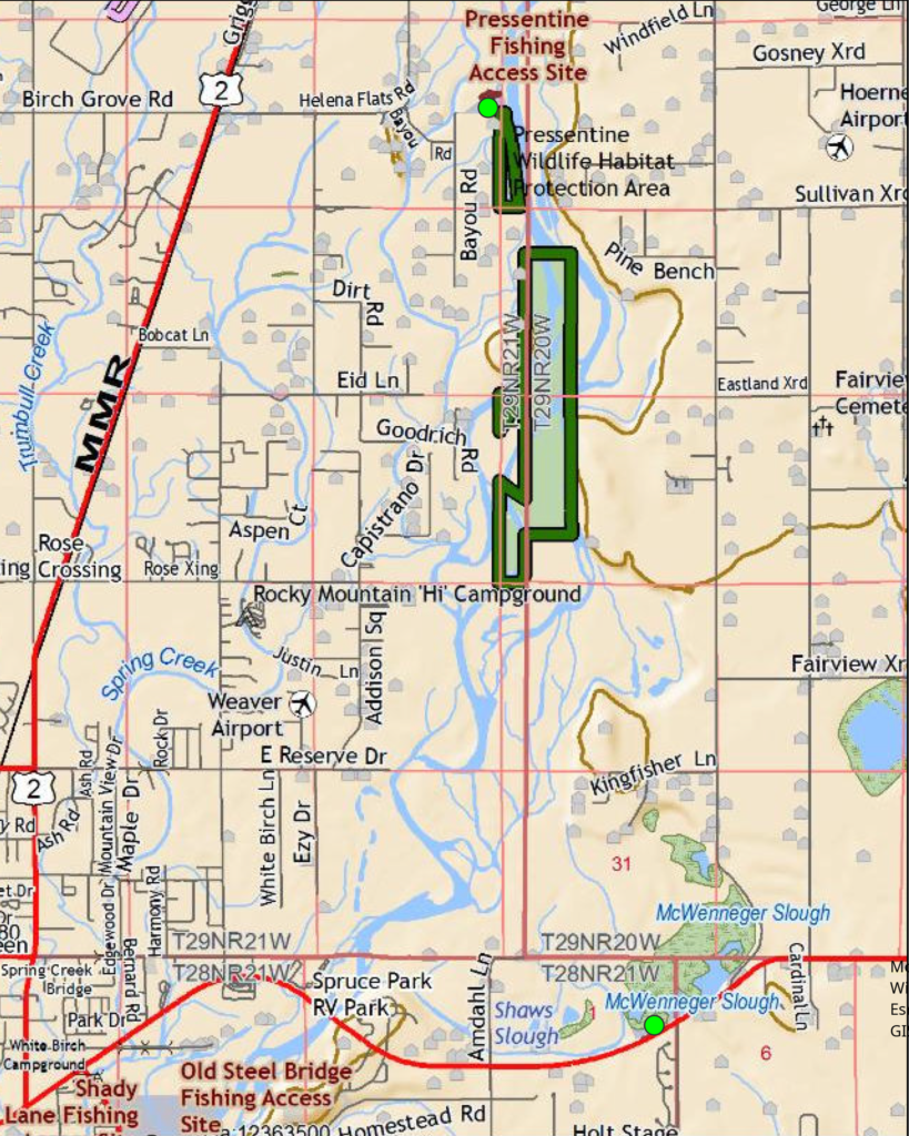
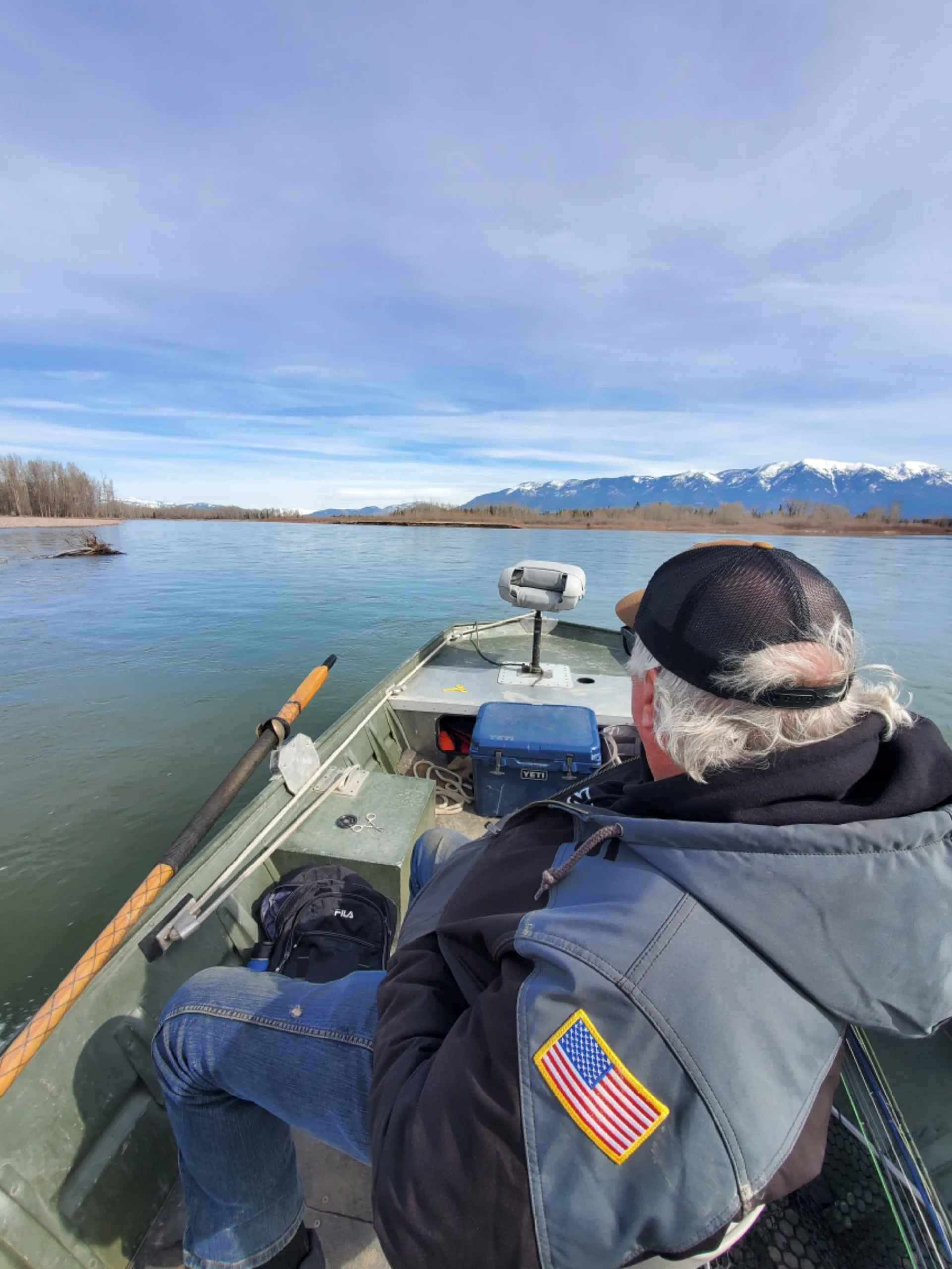
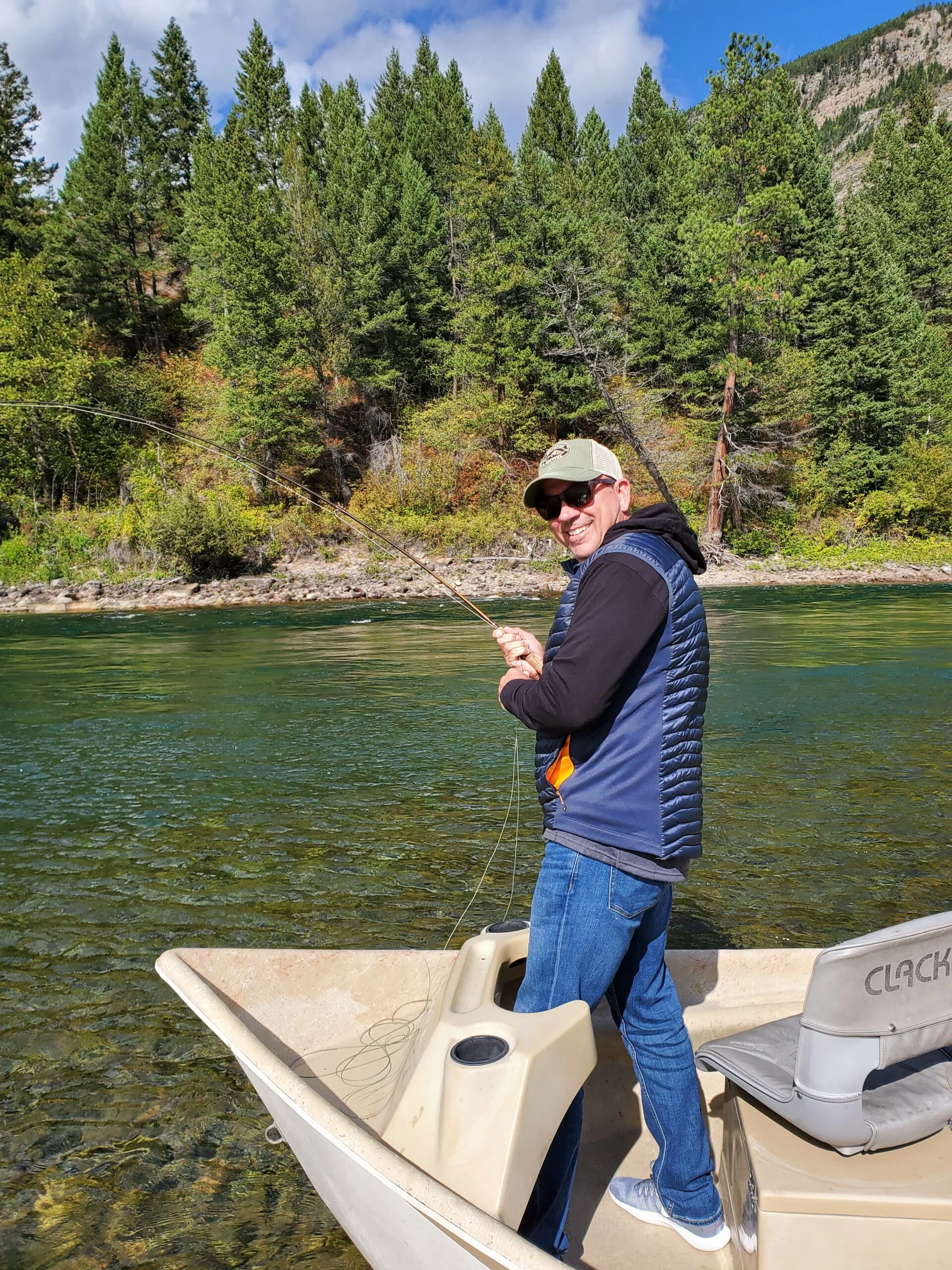
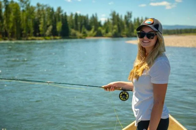
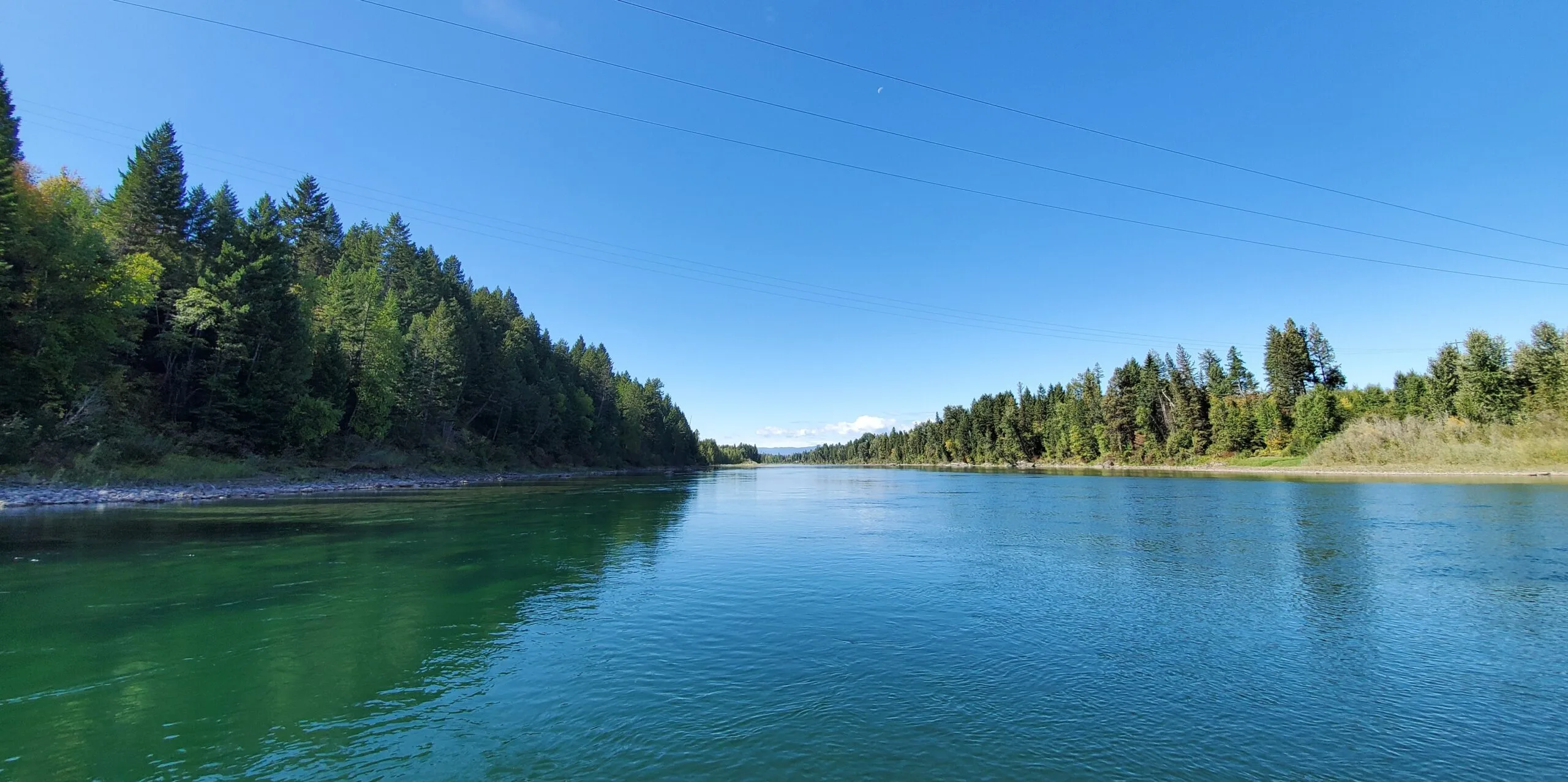
FLOATING THE FLATHEAD RIVER
The main stem of the Flathead River offers 360 degrees of beauty. Surrounded by mountains, the Flathead River meanders its way from Columbia Falls through the outskirts of Kalispell and enters Flathead Lake right outside Bigfork. Except for passing under a couple of bridges, you feel hidden from town while on your float trip. Our expert guides will navigate you down the crystal clear waters in search of hungry trout but the real prize is all around you.
FLY FISHING FOR TROUT ON THE FLATHEAD RIVER IN MONTANA
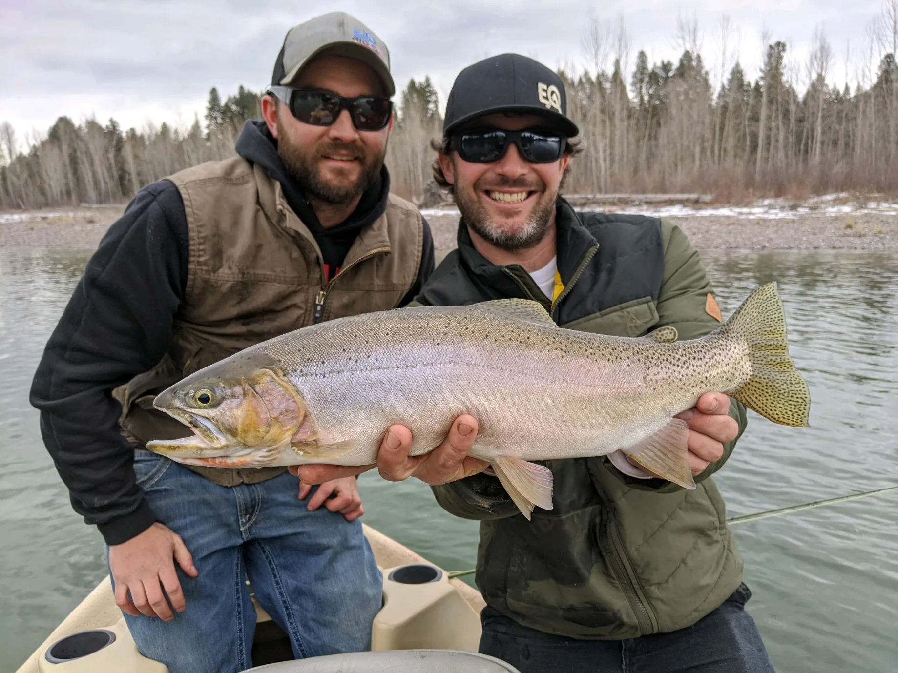
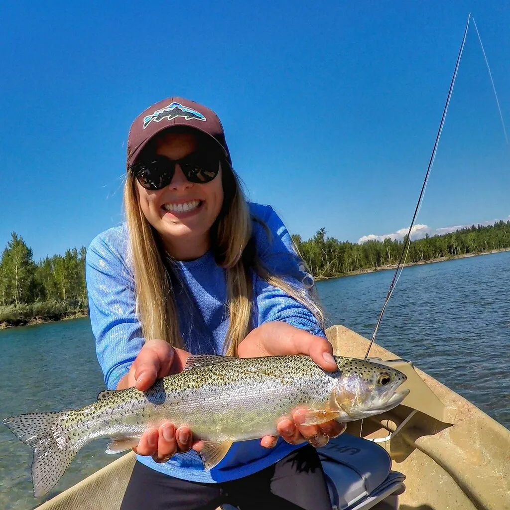
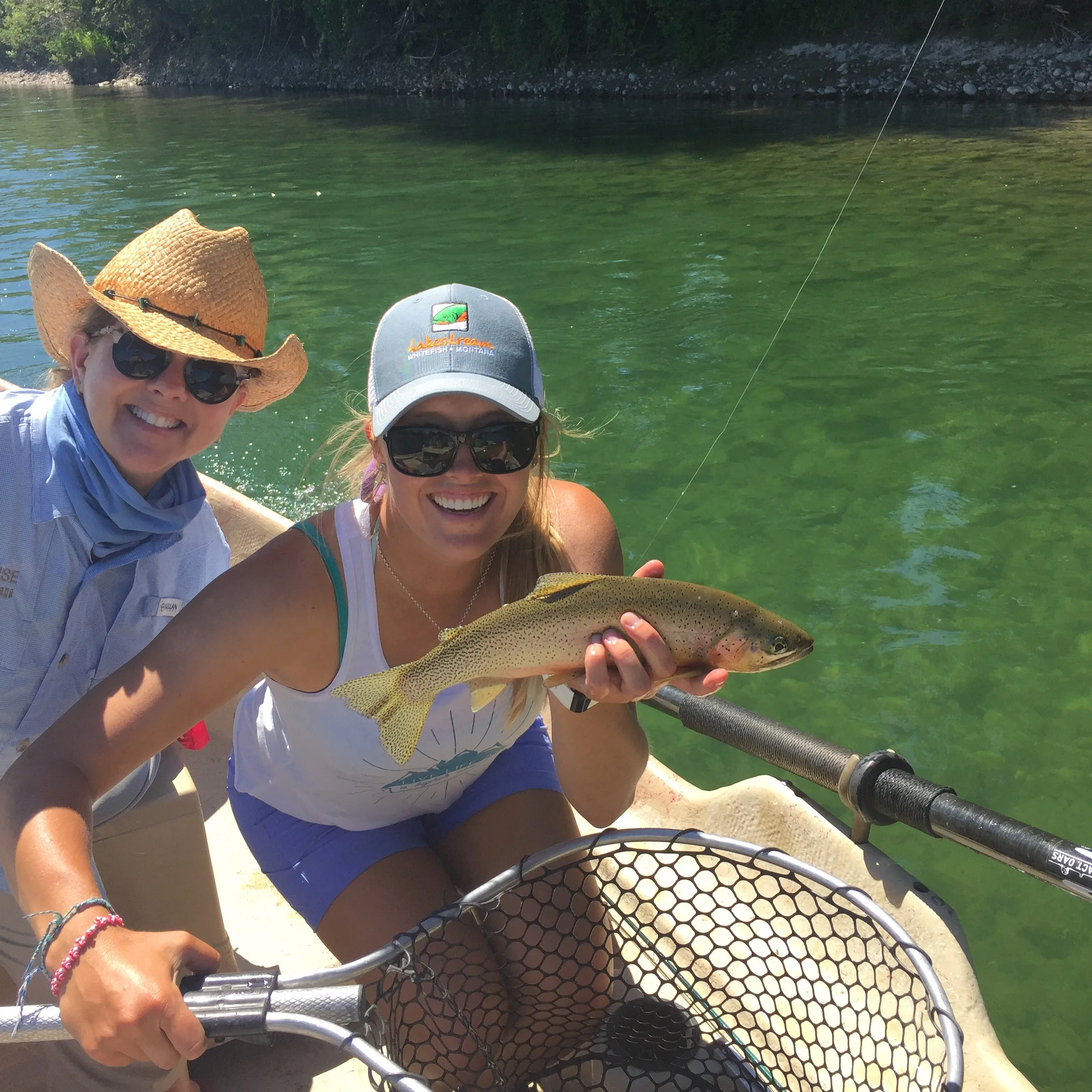
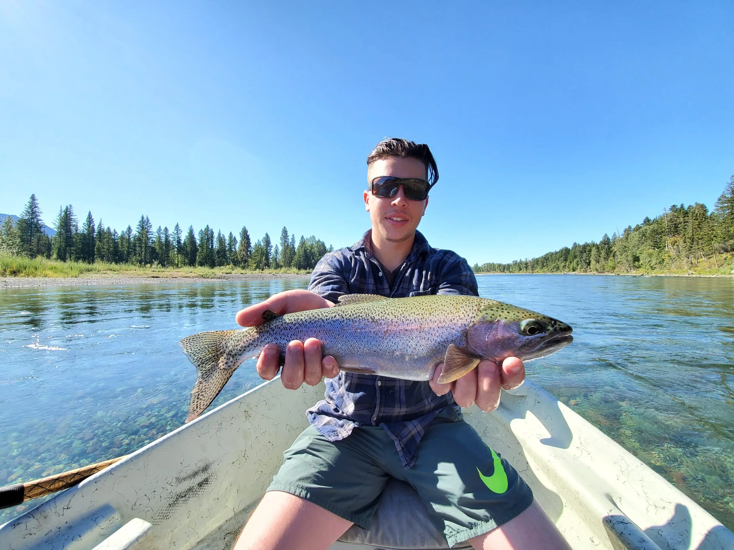
The Flathead River occupies over 200 miles in Northwest Montana. It is unique because it remains one of the few primarily native westslope cutthroat trout fisheries. Westslope cutthroat trout (Oncorhynchus clarkii lewisi) thrive in the cold clean waters of the area which are predominately made up of melted snow and rain. These native fish showcase stunning colors year-round, but their bright orange namesake “cut” under the gill plate is the most notable feature. They often have pink or orange bellies and various shades of green on their backs. During summer, cutthroat are a fun fish to target as they love to go after dry flies. However, you can catch these fish all season.
Another native fish swimming in the Flathead River system is the bull trout (Salvelinus confluentus). The Montana record was caught in 1916, it weighed 25.63 pounds and was 37 inches long. But because bull trout are federally protected, don’t get too excited to catch one of your own. They are a more sensitive trout and after the loss of habitat, overfishing, and the introduction of several non-native species fish count numbers plummeted. Bull trout were listed as a threatened species in 1998 by U.S. Fish and Wildlife Service under the Endangered Species Act.
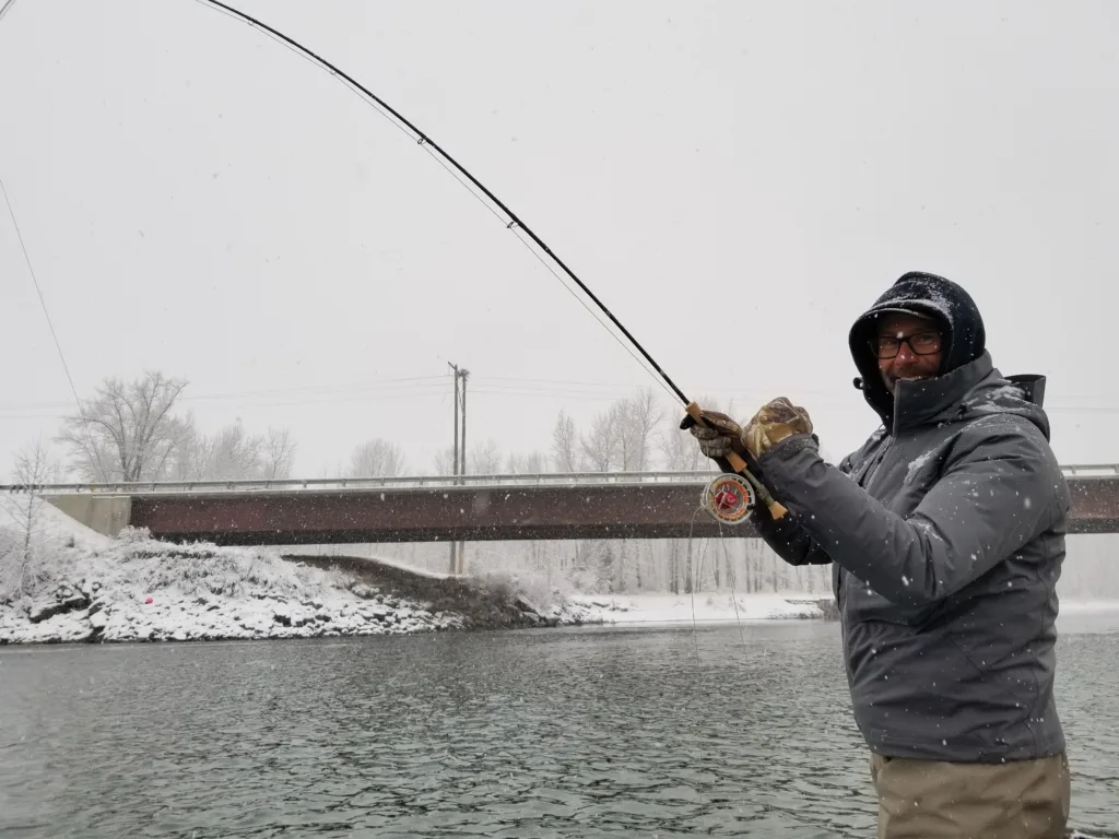
WHEN TO FISH THE FLATHEAD
The main stem of the Flathead River is considered a freestone because it is affected by spring runoff and heavy rains. Since we cannot predict the weather during the shoulder season months, don’t rely on May or June for fishing this river. When the water levels drop to a level safe for floating and the sediment settles out of the water, this is one of the best times to fish the Flathead. The fish are hungry as they have been displaced by high flows and have had to work harder to swim against the current. It’s also more difficult for the fish to see food when the river is chocolate brown from glacial silt and mud. November through April has some excellent nymphing opportunities and we tend to see the bigger cutthroat up from the lake. The weather is chilly but the snowcapped mountains and fewer people on the water hits a little different. July through September is prime time for DFO (dry fly only) or dry dropper fishing. The first half of summer starts with bigger foamy dry flies think Chubby Chernobyl or smaller mayfly patterns like the Purple Haze while morphing into more terrestrials as the summer heat dries out the grasses lining the bank and grasshoppers take over. Fishing in the morning is a good way to beat the heat of the day, but our native cutthroat doesn’t mind the bright sun as much as their peers the rainbow trout. By the time October rolls around the cottonwood trees are putting on a show while their leaves are changing color. The crowds of tourists have dissipated with the start of a new school year and the change of seasons is thick in the air. If you haven’t visited Montana during this time of year, do it!
CLICK FOR DIRECTIONS FROM YOUR LOCATION
Fishing on the Flathead River System is a great option for half-day or full-day guided trips. This river is located perfectly between Flathead Lake and Glacier National Park. For many folks visiting the area’s attractions, fly-fishing is on the bucket list. The convenient location makes for a short travel time so you can see and do all the things on your list!
